


As we enter the last few months of summer, it is a great time to hit the trails with the whole family.
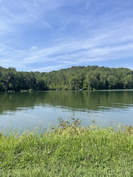

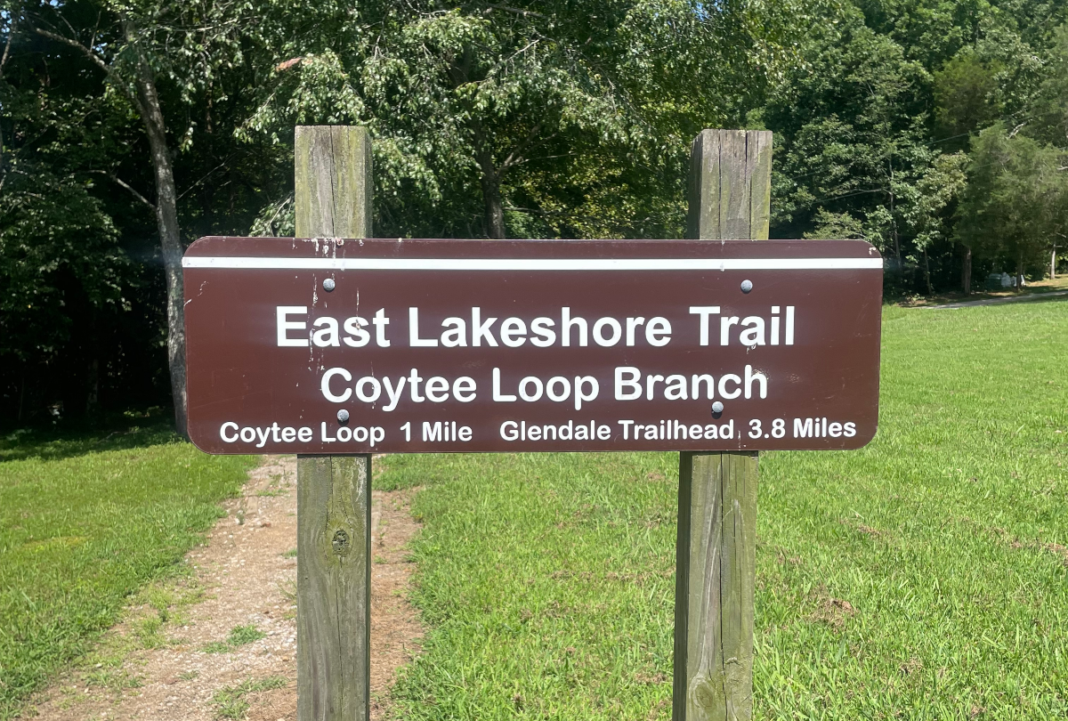
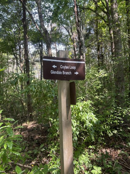
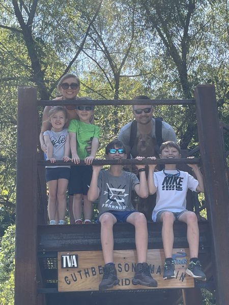
Recently, my family ventured out to the East Lakeshore Trail near Greenback and Tellico Plains at the Coytee Loop Branch. It’s the perfect shaded hike for kids of all ages. My children range from age 12-4, and it was a great round trip of around 3.8 miles. We did have to pass over many trees that had been struck down from recent storms, so be prepared to go off path at times.
 From their website:
East Lakeshore Hiking Trail
The East Lakeshore Trail is located along the east shore of Tellico Lake and was recently designated a National Recreation Trail by the Department of the Interior. To quote Rosemary Marshall, Past President, Tennessee Trails Association, “One of the most beautiful and accessible hiking trails in our part of East Tennessee.”
The trail system measures 26 miles, with 8 branches accessible from 5 trailhead kiosks. Many of the trails provide a quiet/peaceful walk along Tellico Lake and through forests with a large number of tree species. Trail branches provide views of hill knobs and mountains. The level of difficulty is generally easy with some moderate sections.
This beautiful trail system was developed and is maintained, in partnership with TVA, by a dedicated group of volunteers organized by WATeR (The Watershed Assoc. of the Tellico Reservoir).
THE FOLLOWING ARE DETAILED DESCRIPTIONS OF THE TRAIL BRANCHES. For detailed maps of trail branches visit their website.
Davis Ferry Branch
The Davis Ferry Branch extends north from the Glendale Trailhead two (2) miles to the current north terminus of the East Lakeshore Trail at the WindRiver (previously Rarity Pointe) Golf Course. The degree of difficulty is easy.
Glendale Branch
The Glendale Branch extends south from the Glendale Trailhead to an intersection with the Coytee Loop interpretive trail. This trail is 3.0 miles via Power Point and 2.2 miles via the Shortcut. From the Glendale Trailhead to Power Point is 1.2 miles. The Powerline Point Loop interpretive trail is 2.2 miles and goes from the trailhead to Powerline Point and returns via the Glendale Shortcut Trail. The degree of difficulty is easy.
Glendale Shortcut Trail
The Glendale Shortcut allows hikers to walk a 2.2 mile loop around Powerline Point and return to the Glendale Trailhead. The degree of difficulty is easy.
Coytee Loop Branch
The Coytee Loop Branch extends north from the Coytee Trailhead 2.4 miles and includes a 1.6 mile self guided interpretive loop trail. It incorporates eight learning sites marked by lettered posts along the trail. The degree of difficulty is easy to moderate.
Sinking Creek Branch
The Sinking Creek Branch extends south from Coytee Trailhead 4.5 miles to Sinking Creek Trailhead. It features several bridges including an 85 foot steel & concrete bridge erected by TVA in 2011, and elevated 15 feet above Coytee Cove adjacent to Coytee Trailhead. The degree of difficulty is easy to moderate.
Lotterdale Branch
The Lotterdale Branch extends south from the Sinking Creek Trailhead 3.8 miles to the entrance road into Lotterdale Campground. Parts of the trail traverse along East Coast Tellico Parkway. Degree of difficulty is easy to moderate.
Jackson Bend Branch
The Jackson Bend Branch extends south from the Lotterdale Campground entrance road five (5) miles to the Peterson Road Trailhead. This branch showcases a variety of landscapes and scenic views and includes an elevation gain of about 200 feet. A 1/4 mile connecting trail to a map kiosk at the campground entrance provides ready access to the East Lakeshore Trail for campers.
Morganton Branch
The Morganton Branch extends south from Peterson Road three (3) miles to the southern terminus of the East Lakeshore Trail at Wildcat Pointe Trailhead. This part of the trail necessarily parallels East Coast Tellico Parkway is several places but is located well off the shoulder of the road for safe use. A variety of interesting and scenic lake views reward the hiker especially along the Baker Creek arm of Tellico Lake. Before reaching Wildcat Pointe Trailhead the trail ascends to a timbered ridge to an elevation approximately 200 feet above the summer lake level. Excellent views through the trees make the Morganton Branch a wintertime favorite. The degree of difficulty is easy to moderate.


